


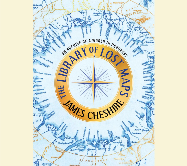
A British geographer’s new book highlights the glories of 19th-century cartography.
The Library of Lost Maps by James Cheshire tracks a field that was engaged not merely in the rote work of delineating borders, but in a more imaginative project: One map compares the lengths of the world’s rivers by arraying them along the tines of a compass, with the Great Lakes next to Venezuela, while other, topic-based maps chart the geographic distribution of certain animals and diseases.
Contrary to their modern digital counterparts, which are “consulted quickly and then forgotten,” these archaic maps yield themselves to “absorption and study,” The Wall Street Journal wrote, helping their viewers to “see the world anew.”