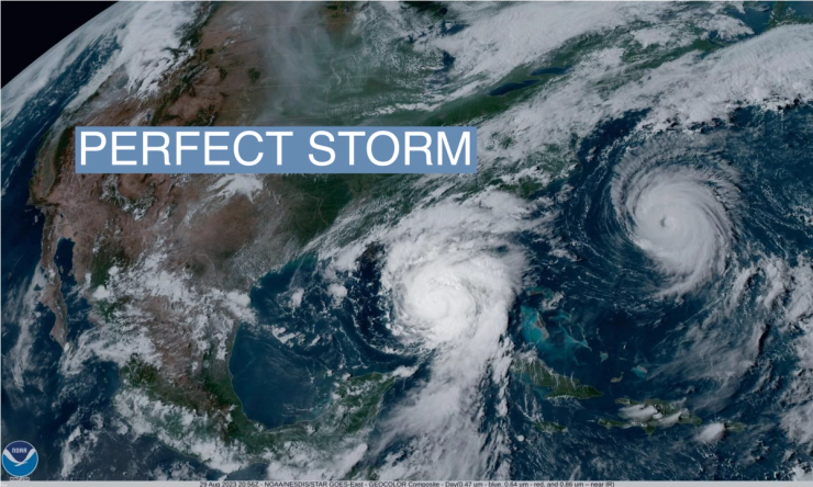
The News
The 2024 Atlantic hurricane season is set to be extraordinarily busy, the National Oceanographic and Atmospheric Administration forecast Thursday.
In its highest-ever outlook for May, NOAA predicted 8 to 13 hurricanes and 17 to 25 named storms, meaning they have wind speeds of 39 mph or higher.
The aggressive forecast is due to a mix of record sea surface temperatures and the chance of La Niña, experts said.
SIGNALS
No more ‘clash of the Titans’ in the Atlantic
Last year’s hurricane season featured a “clash of the Titans,” with a “stupid hot” Atlantic running into a strong El Niño, a climate phenomenon that could effectively knock down the big storms, an Atlantic hurricane forecast expert told NBC News. But a transition to a La Niña event is underway; La Niña can reduce the upper level winds over the Atlantic that ordinarily weaken storms and hurricanes. “We have no idea where the storms are going to go, but in general when you throw a heckuva lot of darts at the board,” the forecast expert said, “one of them starts to stick.”
Storms hit harder, faster
Ocean temperatures are on average higher now than they were during the record-breaking 2005 hurricane season. Studies have shown that global warming is making storms more intense when they do make landfall — so much so that some scientists have suggested adding a Category 6 to the Saffir-Simpson scale that measures intensity. Storms are also forming faster along the US coast and in East Asia, researchers say. Every Category 5 storm that made landfall in the US in the last 100 years was categorized as a tropical storm just three days earlier, the National Weather Service director said Thursday. “The big ones are fast.”


